 August flew right by with a flurry of disparate summits, though I feel like I underutilized this prime part of the season, for sure. The positive perspective to my summer is that I have remained healthy, increasingly fast in the domain of running up and down mountains, and have learned a lot about my overall system and how to sustain and/or tweak it. I have become lighter, more minimal — practically naked at times — which translates directly into speed and a deeper relationship with mountains I already know. I’ve also spent more time above 3000m than ever before, which is important to me, to visit that zone where the rest of the world is muted and life consists solely of the elements, all amplified to a violent pitch.
Yet I can’t shake the feeling that complacency kept me from pulling off any “big projects” this summer, or really any big days, barely running anything over 30kms since the Mont Blanc 80K in June. Distance isn’t really what matters to me, it’s the feeling of adventure, mainly gained from long distance in the backcountry, and I didn’t do any long backcountry trips (like last summer) either.
The weather in September has changed abruptly to autumn, snow has fallen and I doubt the stuff at higher elevations is going away. My mindset has shifted to two upcoming events this month, then making the most of fickle fall conditions until my parents come to visit in October. September 11-13, 2015 is our second Mountain Stride Fitness retreat in Kananaskis, designed to transport your trail running to an alpine landscape of peaks, ridges and valleys. We still have a few spots available! See mountainstridefitness.com for more info.
September 18-20 are three days of Golden Ultra in Golden, BC. I won’t be racing but other members of the Mountain Stride crew will be. I’m excited to see what the race organizers have devised for their Blood (VK), Sweat (55km) and Tears (20km) races. I ran the vertical kilometre in Golden last year and feel the area has great potential as a trail running destination. I’ll be heading to Golden to take pictures and see my crew.
Wedged into the middle of the Golden Ultra weekend is the 5Peaks Glacier Grind in nearby Revelstoke, BC that will be my second and final trail race of 2015. I originally signed up when this race was supposed to take place in Rogers Pass and had some 4000+ metres of climbing to its name. Swarms of hungry grizzlies caused the race to be moved to Revy, where it will begin in town, race to the top of Mount Revelstoke and descend to Jade Lakes, turn around and head back up over the summit and plummet down to town. The new race is slated to be 44km with 2600m of climbing, a real SkyRace format that should be a fast and exciting alpine race for sure.
Other randomness:
Check out this sweet profile of the Banff Three Peak Challenge, written by my friend Tera Swanson and published by local Banff mediahouse Crowfoot Media. The piece details the history of attempts on the 70km/5000m route which ascends three peaks around Banff townsite. The article also includes bits of interview with my Mountain Stride buddy Sean Bradley, who now holds the FKT, and a few pictures taken by me during his attempt last July.
Without further ado, let’s get to some of the trips I took in August:
01/08/15 – Edith North (2554m) – 15km/2h57m/1314m
A blistering run up the north peak of Edith that was basically nude, save for a pair of split shorts, running shoes and 500mL of water. Apparently I didn’t take my phone because I have no pictures and almost forgot about this trip until I looked at my Movescount page. Another example of going faster, lighter and naked-er on mountains I know well this summer. The temperature was bound to rise over 30 degrees celsius that day so I had to ration my water, taking small sips and sloshing them around in my mouth to alleviate the symptoms of dehydration to trick my brain. All of the gullies en route to Cory Pass ordinarily offering water in the springtime were bone dry. I hit Cory Pass the first time in 1h27m, tagged the summit of Edith in 1h57m and descended back to the parking area in 2h57m, blasting past a lady who’d chastised me for carrying nothing — she’d had a good point. GPS data.
08/08/15 – Sparrowhawk (3121m) – 10km/1469m/3h24m
Ran up and down Mt. Sparrowhawk. The intention was solely to summit but like most of my single summits this summer, I tackled it with a decent amount of intensity. Made time through the incessant loose cobbles which were good training for Sunwapta later in the month. Tagged the summit in about 1h50m. The top revealed a 360-degree panorama of sweet mountains including Assiniboine, peaks of Lake Louise, and Kananaskis front-range fare. GPS data.


 09/08/15 – Rundle (2949m) – 18km/1560m/2h32m
Ran up Rundle, fast. Set out to establish a fast time, aiming to break 3h05m, really the only documented fast time I’ve come across. My watch died partway up so people will have to take me for my word, otherwise I recognize the poor documentation involved in this attempt. Not much to say; the weather was decent and the route not very busy. Jogged from home, reached the summit in 1h36m from the trailhead and returned back to the trailhead by 2h32m. Passed one regular scrambling party and a huge group of Japanese hikers who I saw at the hot springs the following day. I remember thinking at one point that I couldn’t possibly descend fast enough to break 3h05m but the descent went much quicker than expected. Will have to go back with my watch fully charged one day. Incomplete GPS data.


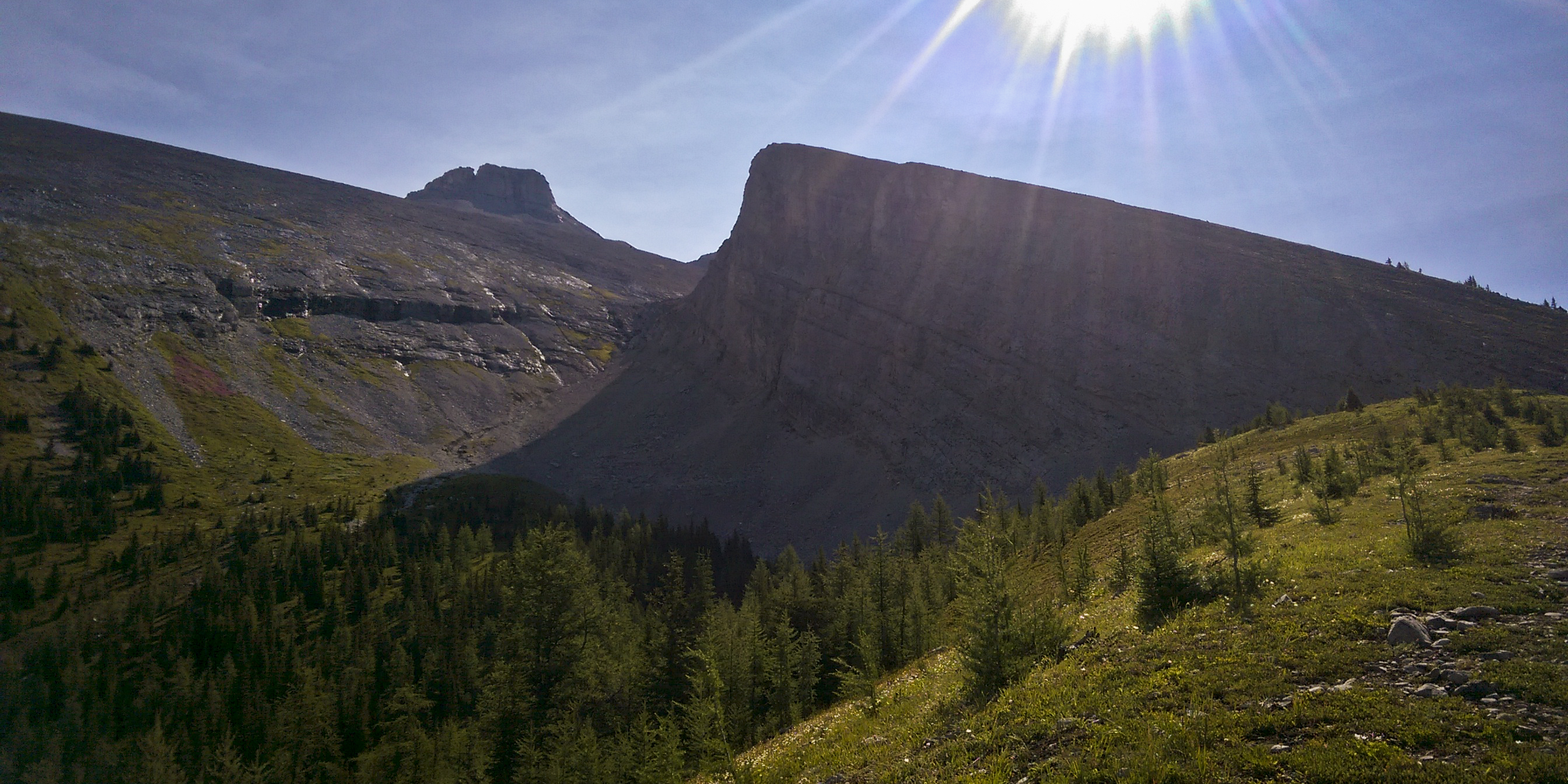
 14/08/15 – Opal Ridge South (2560m) – 7km/1018m/~3hrs?
Opal Ridge with Glenn. Drove to Kananaskis in the morning and deliberated about what to do. At last we settled on Opal South. The hike up was pleasant, climbing the edge of a wide drainage and circumventing large pinnacles. Got chased off the summit by a big thunderstorm heading east. We swiftly descended through loose shale to safety but felt bad for non-running parties still up on the mountain. “If they weren’t mountain runners before, they are now!” we joked as huge cracks of thunder erupted around us. Escaping thunderstorms is turning into a side hobby for Glenn and I.
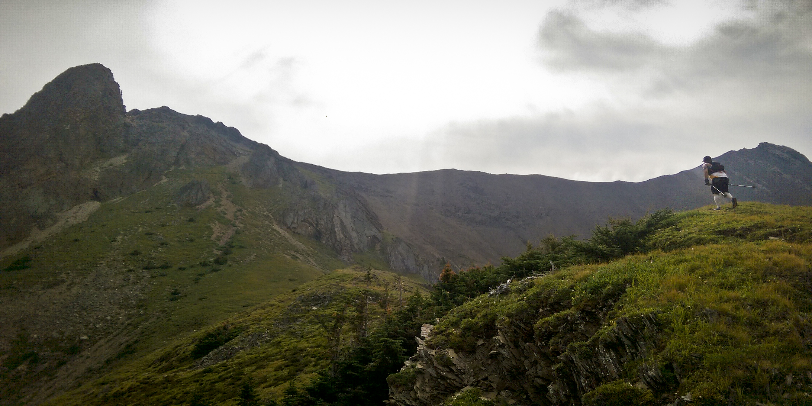

 20/08/15 – Sunwapta FKT (3315m) – 12km/1745m/1h59m to summit/3h32m RT
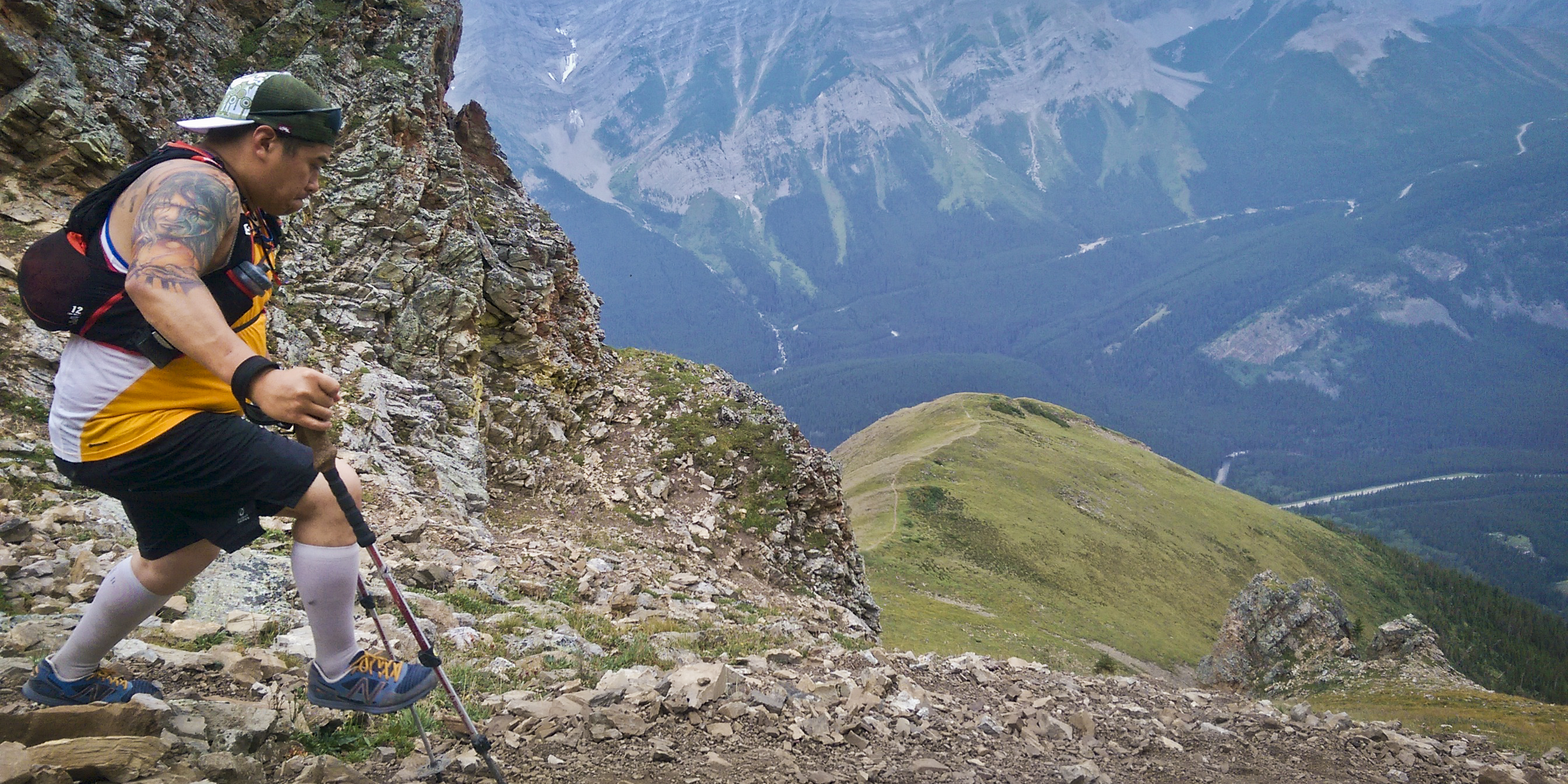
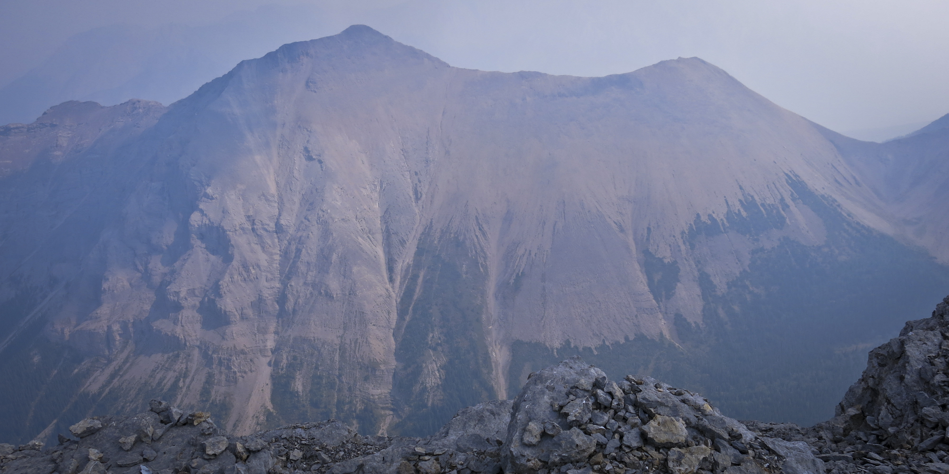
Sunwapta, fast. This is one of the things I definitely wanted to get around to this summer, albeit hardly a “big project” by any means. This is the last of three FKTs set by Steve Tober some time ago — the others being Bourgeau and Fairview — which I’d been gradually scooping up. None of these are difficult mountains, however they are justifiably popular, untechnical peaks with great views. Sunwapta has the distinction of being a nearly eleven thousand foot scree slog poised literally across the street from glaciated giants of the Columbia Icefield. Steve’s speedy ascent is also mentioned offhandedly in Alan Kane’s Scrambles in the Canadian Rockies, a mountaineering bible near and dear to the hearts of many peak-baggers including myself. I knew I had to go after this objective.
“Routefinding” on this mountain is virtually nonexistent, though it took me a few tries to locate the very start of the trail — reading the instructions properly helps. After figuring it out, I trotted back to the parking lot and started my watch for the speed attempt. I scampered up the loose rubble on all fours and jogged along the summit ridge, sucking back huge lungfuls of air. Tagged the summit at 1h59m, twenty minutes faster than Steve Tober’s 2h20m ascent in 1998. I hung around on top for five or ten minutes to absorb some the epicness that surrounds Sunwapta: on one side are endless ranges of parallel dipslope peaks; on the other are huge eleveners plastered and smeared with ice and snow. The Canadian Rockies’ second highest peak, 3747m Mount Columbia hovers above the whole panorama. GPS data.


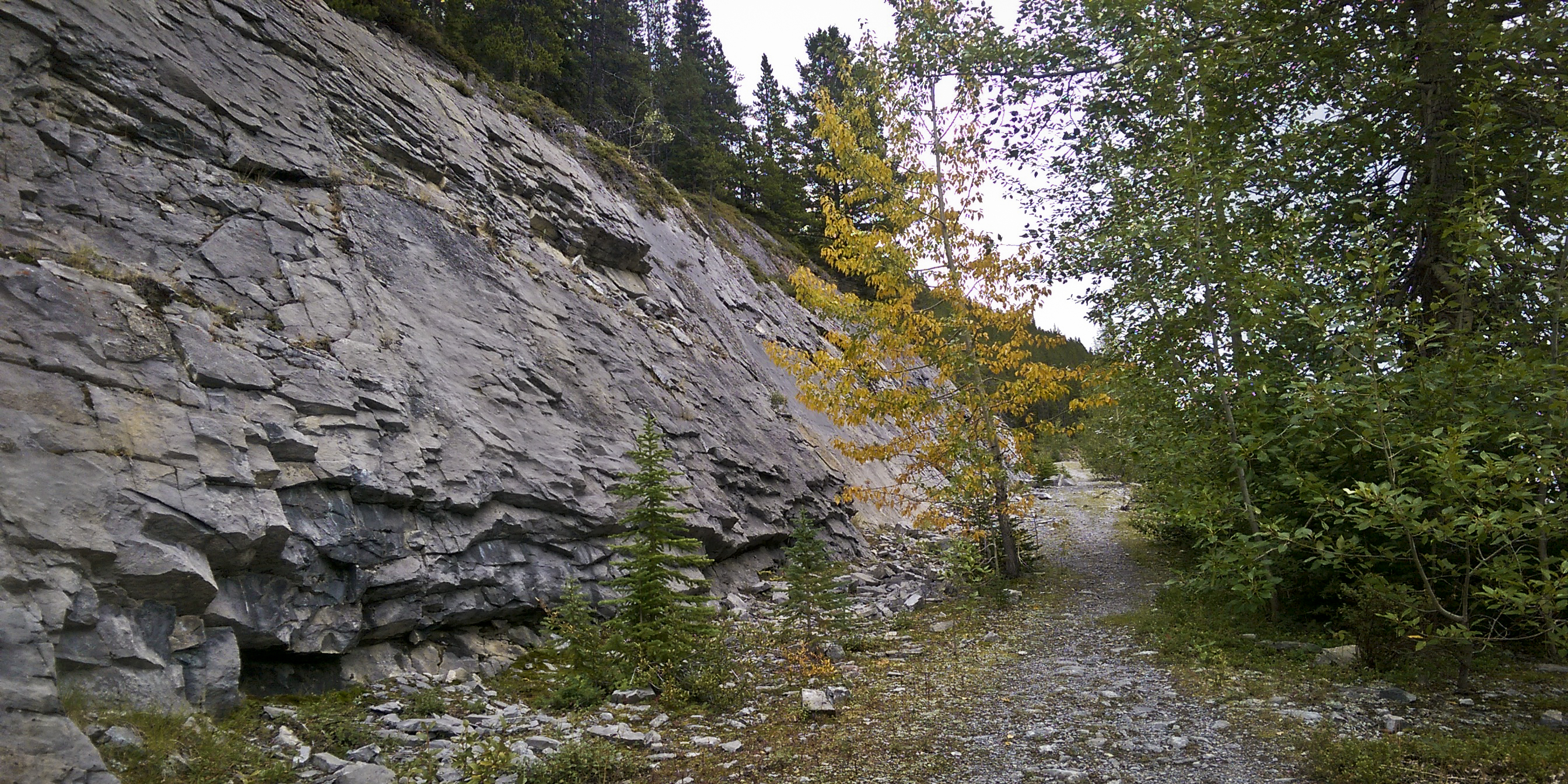
22/08/15 – Cory-Edith Loop – 14km/1200m/2h56m
The Cory-Edith Pass loop, combined with a scramble up Mount Edith, has become one of my fallback, go-to mountain runs this summer, and for good reason: it’s close to home; I can ride there on my bike, skateboard, or run if I have to. It possesses a great amount of killer singletrack largely above treeline, big craggy cliffs, and allows you to complete an aesthetic loop around Edith. Even without bagging a summit, the trail around Edith delivers both fast, flowy running and techy rubble wrangling on the backside of the mountain. Combined with the scramble and you get a narrow, claustrophobia-inducing chimney/ramp, some third-class slab scrambling with exposed run-out below, before gaining a generally exposed-feeling summit.
This day I didn’t do the Edith scramble due to the first snowfall of autumn having just transpired. I’ve turned around looking at those snowy slabs on Edith before. Today I started slogging up the snowy col towards them but wasn’t in the mood to wade through icing sugar to simply inspect the terrain. So it was simply a loop, which I still wasn’t confident about completing, given the snow on the backside. Luckily a pack of bighorn sheep had broken trail for me in the night so I followed their hoof-prints to the base of Mount Louis and around the rest of Edith to finish the loop. GPS data.


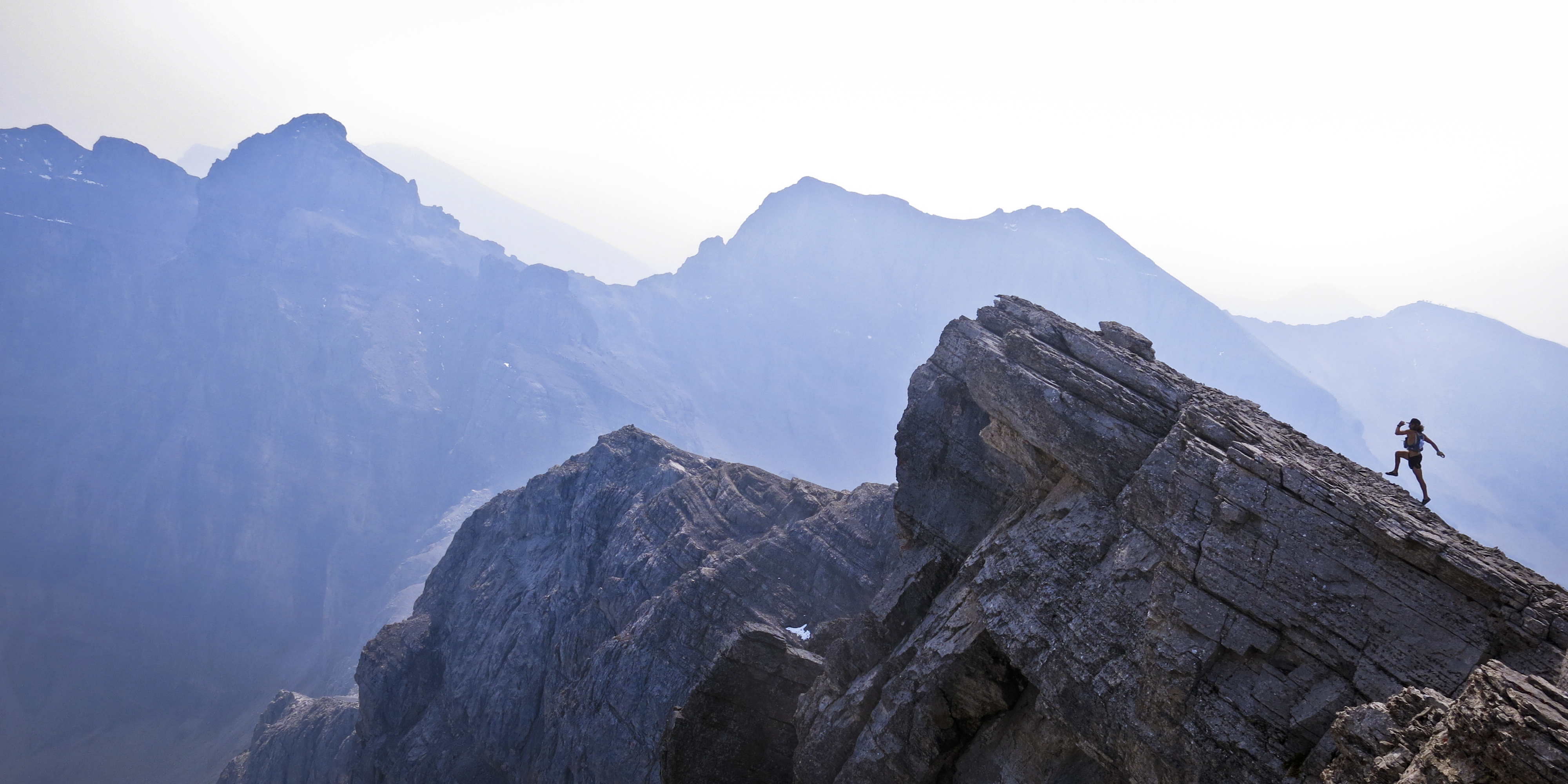
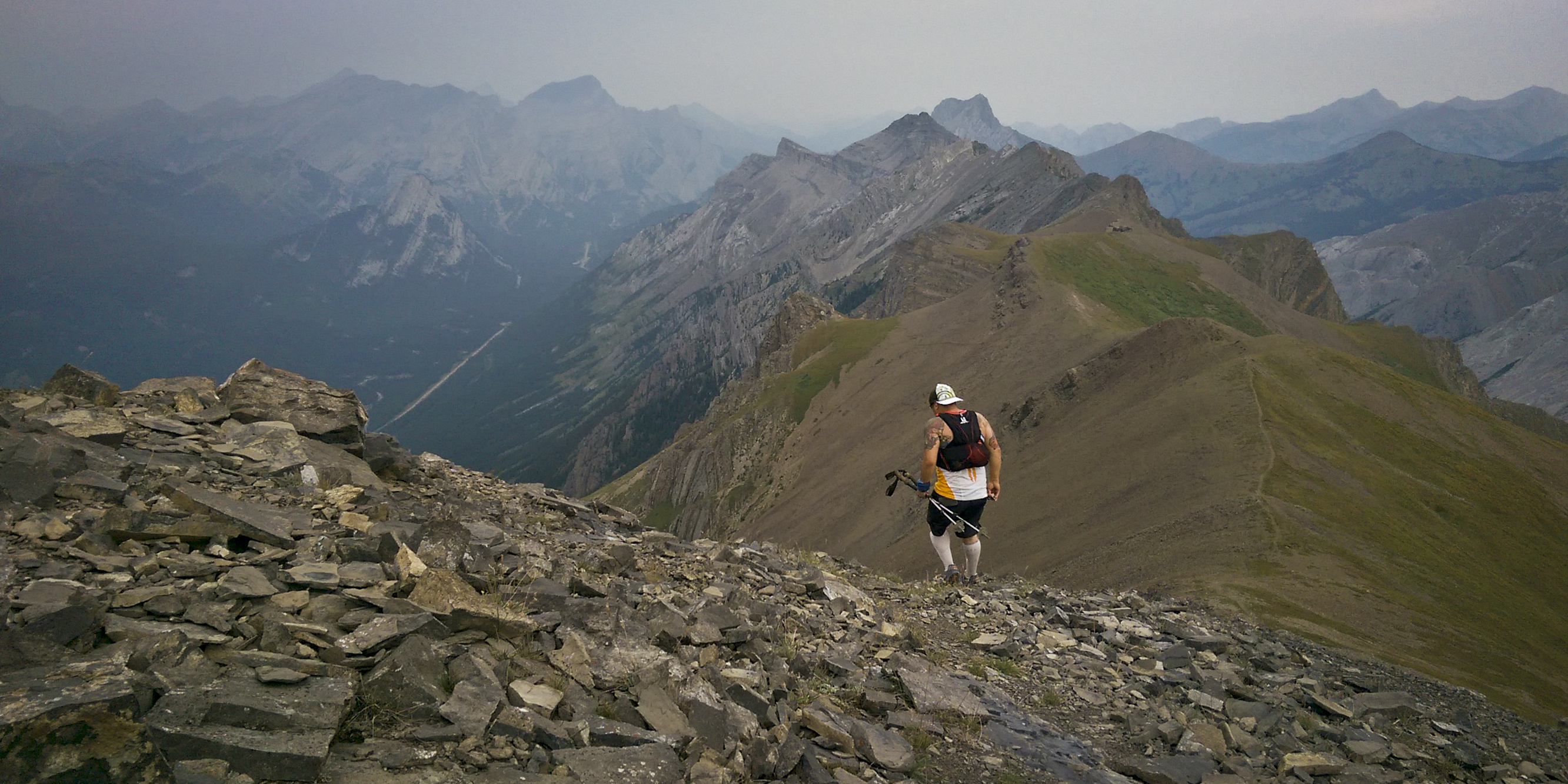
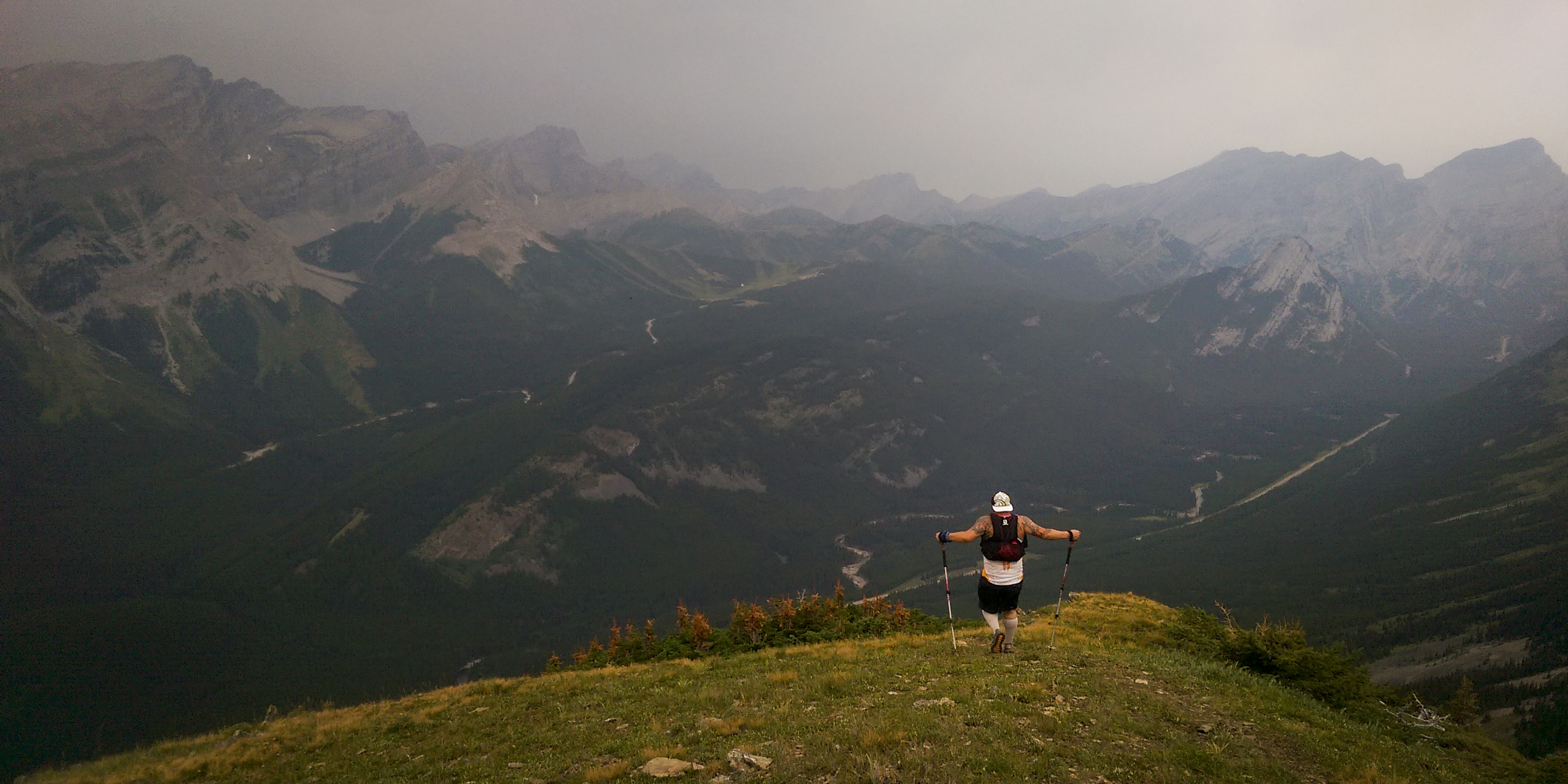
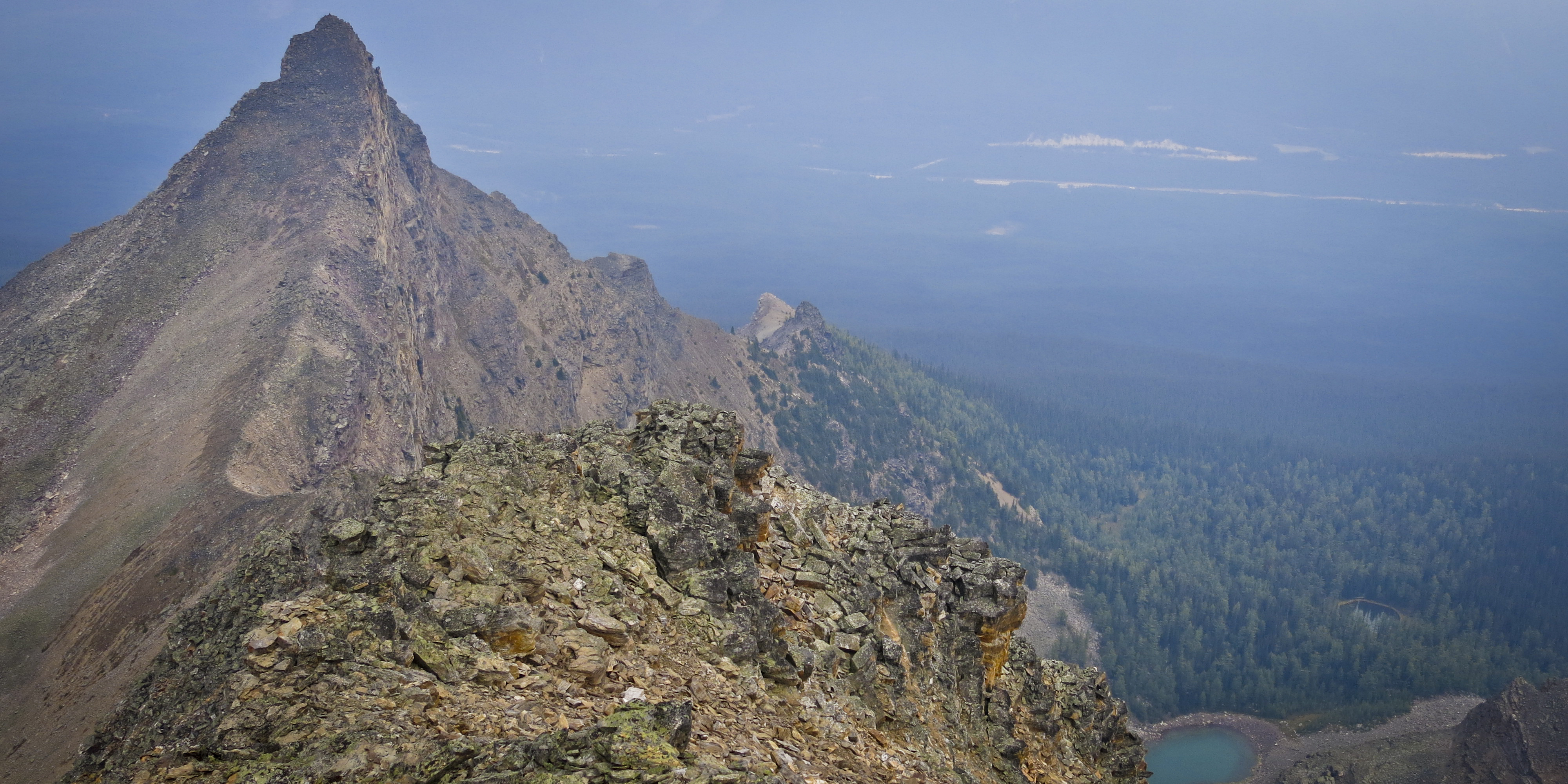
 27/08/15 – Eagle Mountain AKA Goat’s Eye (2823m) – 14.5km/1187m/3h01m
Smoke from wildfires in Washington completely filled the skies of the Canadian Rockies for a few days, making all of our mountains disappear. Visibility improved a notch from absolutely zero so I headed out for a run. I jogged up the ski-out at Sunshine Village and nearly turned back twice before reaching the Goat’s Eye lift; the smoke was so bad, it felt like I was only employing 10% of my lung capacity. However, views and air quality improved ever-so-slightly the higher I ascended (or so I told myself), plus I am very stubborn so I forged on. Made the top of Goat’s Eye in about 1h40m, took a few pics (including the Kilian-esque image at the top of this post) then descended back to the parking area in 3h01m. Pushed the velocity downhill on the ski-out, reaching a 2:20 pace and a max speed of 26.6 km/h. Hee hee. GPS data.


 29/08/15 – Bell Attempt (2734m) – 8.5km/1226m/2h18m
Attempted to bag a unicorn but a thunderstorm masked by lingering smoke chased me off the summit ridge. I approached from the Boom Lake side in overall fast time. Once I reached the ridge (too far to the right/east, as many others have done), the wind became gale-force. I messed around on the ridge, probing the route up Bell and bagging a different highpoint but knew I wasn’t going to get up Bell today. The weatherman, combined with my inner mountaineer, called for intense storms and the dense smoke meant I couldn’t see one coming, even if it was one range over. After descending back to Boom Lake, the first raindrops started to fall but spared me until I reached my car in the parking lot. GPS data.


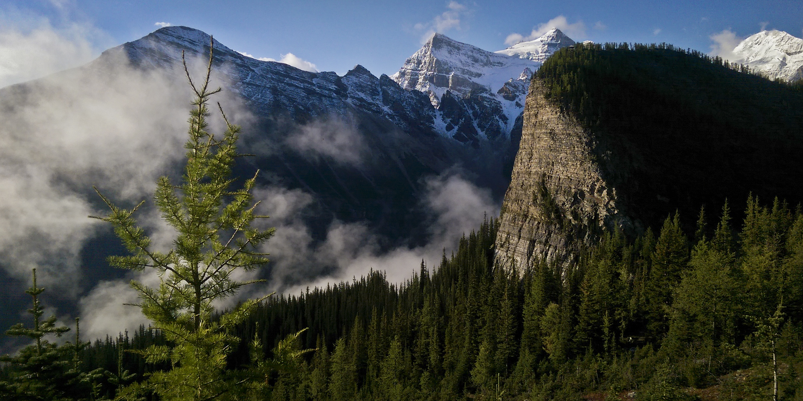
 03/09/15 – AM – St.Piran-Fairview Double – 22km/1921m/3h34m
A little double-bag testpiece I’ve done a few times now. Not profoundly epic but two easy mountains — about a vertical kilometre each — in very pretty surroundings in a famous location. As usual I had ideas to do something else but fresh snowfall and weird weather dictated I do something relatively safe. Lake Louise is a place one does not venture in the peak of summer for fear of way too many cars and selfie-stick waving tourists packed into one location. Since the turn of the month, they have all evaporated, leaving this majestic mountain playground for locals to play with.
I disposed of St. Piran swiftly. Though I packed Microspikes, the snow wasn’t an issue and I never put them on. The peaks of Skoki et al (where I’d wanted to go today) looked amazing, painted with a band of white from 2000m up. Though St. Piran is probably one of the easiest mountains in the Rockies — I’m inclined to call it a hill — the views from its summit are perhaps some of my favourite.
I raced back to the Lake and stopped briefly at my car to change from winter into summer attire; I was soaked with sweat. After a ~3min transition, I started jogging up the Fairview trail. I tagged the summit amid an immense snowstorm rolling over the Divide and blotting out the skies around me. This isn’t the first time this has happened to me on Fairview. I threw on a Gore-tex shell and my Microspikes and quickly descended, reaching the Lake at 3h34m, most likely my PR for this route. GPS data.
Splits:
1h05m St. Piran summit
1h43m Lake Louise
2h58m Fairview summit
3h34m Lake Louise


 03/09/15 – PM – Ha Ling (2408m) – 6km/700m/~2hrs
I got home from Lake Louise and felt like it wasn’t enough. My body wasn’t completely dead, I needed more. I got on the text with Glenn and tried to convince him to go up Tunnel with me; he convinced me to go to Canmore and slog up Ha Ling instead. We moved up the mountain at a decent pace and hung around on top just long enough to shoot some #newbalance #solefies and #alpinebromance pics. A huge storm was churning a couple of ranges over and it totally looked like we were going to get nailed. Our descent was a personal best for Glenn but the weather never actually hit us. Like I said, dodging incoming storms is becoming our forte. GPS data.

 04/09/15 – Sulphur (2337m) – 21km/1106m/2h23m
Sharpening myself against the grindstone/measuring stick that is Sulphur Mountain. Spent ages trying to figure out what to do today, and if the weather was stellar it wouldn’t have been tough to decide. But the weather was shit and I needed to get out regardless. This run (under the added resistance of a heavy previous day) was swift and snappy and was ultimately beneficial, I think, two weeks out from the Mount Revelstoke Glacier Grind.
Ran up the backside from my apartment, continually pushing against the tendency to simply powerhike or jog, tagging Sanson’s Peak in 1h15m. I streaked across the gondola catwalk half-naked in a snowstorm among a crowd of boggled tourists and sprinted off into the woods to scramble up summit #3 in 1h30m. I stuck around for a few minutes and took some pictures before getting cold and racing down the mountain and back to my house in 2h23m. Definitely a fast time for me on this route and feels extra rewarding to know I pushed the intensity despite 2600m of vert in my body from the previous day. GPS data.

Total distance for this block: 148km
Total vert for this block: 14,446m
