Three glorious days in Peakbaggingville: An after-work traverse of Mt. Baldy with my buddy Pat in Kananaskis Saturday night; a 30km/1600m ascent of Jasper’s Pyramid Mountain beneath flawless skies on Sunday; and a 1300m scramble up Little Hector on Monday, only to get chased off the summit by a thunderstorm. All in all, I traveled approximately 4500m vertically over the weekend and feel not too worse for the wear, leading up to next Sunday’s Canadian Mountain Running Uphill Championships at Kicking Horse Ski Resort in Golden, BC.
Patrick jogging to the first summit of Mt. Baldy.
Downclimbing the exposed gendarme interrupting the otherwise mellow ridge ascent on Mt. Baldy.
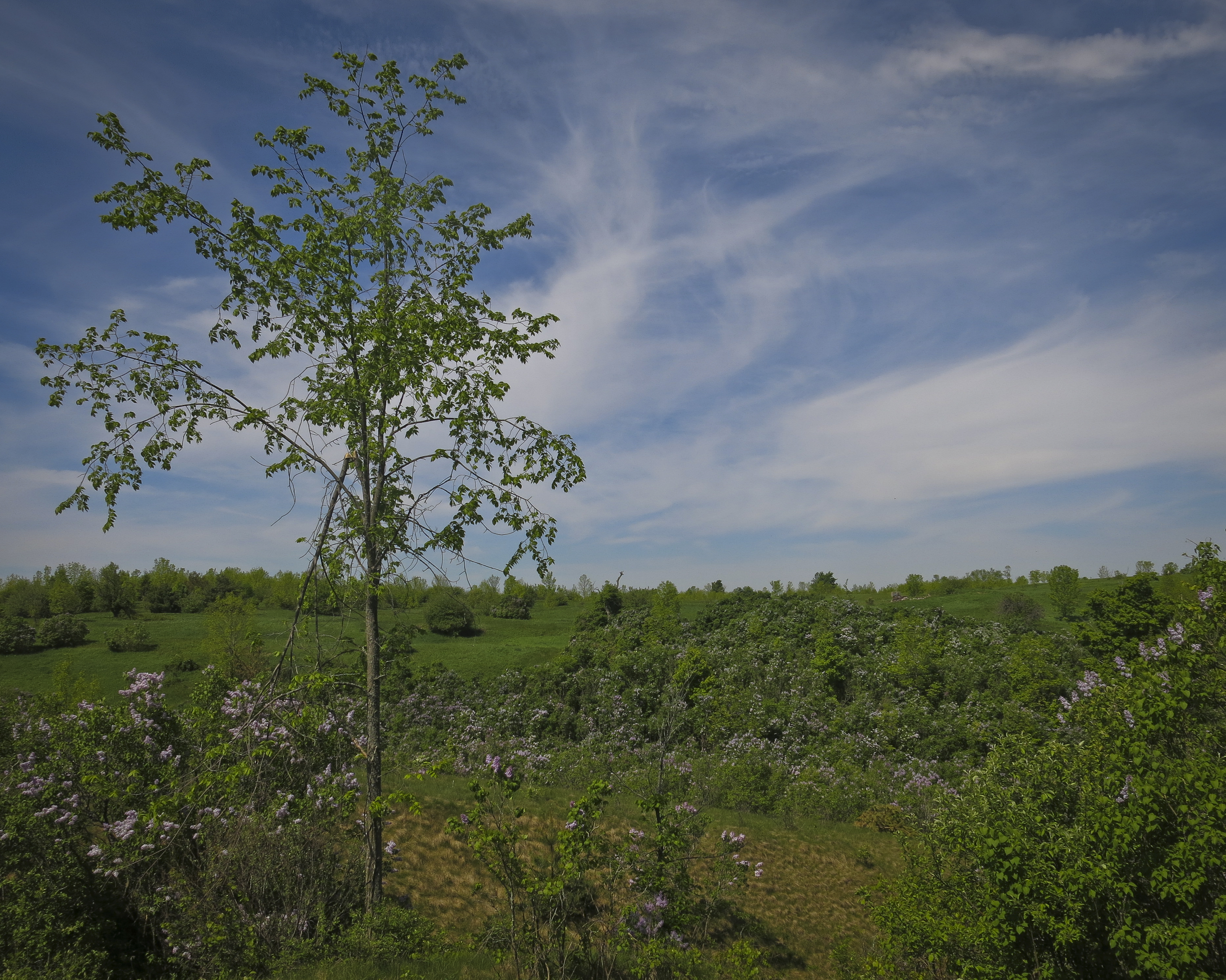
Ridges upon ridges…
…followed by more ridges.
Gaining the summit of Mt. Baldy’s central summit.
Approaching the NE aspect of Pyramid Mountain after a 12km approach on the old Pyramid Access Road.
Finally gaining the ridge which leads to the summit of Pyramid Mountain, with lots of spring snow still left thawing on the NE face.
Looking south from the summit of Pyramid Mountain toward the Ramparts and the Trident Range.
Looking down from the summit of Pyramid Mountain to the town of Jasper, with Pyramid and Patricia lakes in the foreground and lots of sexy Icefield peaks in the distance.
There’s no other feeling like moving quickly on a mountain with relatively little clothing on 🙂
Wow this picture is really grainy… Mighty Mount Robson (highest peak in the Rockies) seen from the top of Pyramid Mountain.
Looking north from the top of Pyramid Mountain toward Jasper Lake, Highway 16 and the route of the Athabasca River.
Looking west into the alpine basin between Pyramid Mountain and Mount Kinross.
View of Pyramid Mountain on the way out. I thought there was supposed to be a weather station up there? Maybe I climbed the wrong mountain…
The front side of Pyramid Mountain seen from Pyramid Lake below.
Sizing up Mount Hector’s northern subpeak, Little Hector. My analysis is that it is much bigger than I am…
Slogging up the rubbly slopes toward the summit of Little Hector. Scary-looking weather in the distance which almost make me retreat but I ultimately decided it was passing around me…
Mount Hector’s glacier-clad summit seen from the top of Little Hector. As I was ascending the last part of the peak, I said to myself, “This isn’t a mountain you’d want to have to descend quickly…” as it was super loose and tedious. As I got to the summit I saw a storm heading up the valley directly towards me and another one a bit further off in the Lake Louise group (on right). I spent five minutes on the top taking pictures then descended as quickly as I could.
Hector Lake and peaks of the Wapta Icefield area seen from the summit of Little Hector. Mount Balfour is the tall peak at centre.
Summit of eleven-thousand-footer Mount Hector with stormclouds enveloping dark blue skies above me…
A sea of summits seen looking north from the top of Little Hector.
Looking down from my descent of Little Hector toward the TransCanada Highway. The immense walls of Mount Andromache are on the right. Bow Peak, Bow Lake, and Crowfoot Mountain are visible on the left.
Looking west from my descent of Little Hector toward the Molar Creek area in deteriorating weather.
One of my favourite parts of mountain hiking/scrambling/running is after the descent of the actual peak is done and one can stop and rest in a little alpine oasis, snacking on a rock in the sun and washing and drinking from a cold stream nearby. Yesterday, however, I had little time to spend in this picturesque chill-spot before the rain came.
I love porcupines! So cute, though I rarely ever see them.
A stock Rockies shot of Lake Louise, seen after an evening low-oxygen sprint (after Hector) up Plain of Six Glaciers to the base of Mount Victoria at the back of the lake.
An aesthetic, almost painting-like, finale to three days of blood, sweat and scree dust. Chateau Lake Louise seen below at sunset, with Mount Hector, the day’s earlier objective, on far left.
On the summit ridge of Mt. Lady Macdonald, 9 hours after starting the three-peak, 38km, 3500m vertical Canmore Triple Crown.
My second go at this masochistic little scrambling endeavour first devised by two buddies of mine in 2012 and reconfigured by myself into a 100% bipedal effort around this time last year. The Triple Crown is a one-day ascent of Mount Lady Macdonald, the east end of Mount Rundle (EEOR) and Ha Ling Peak, a grand tour of the city of Canmore, Alberta totalling thirty-eight horizontal kilometres and over 3500 metres (puke!) of accumulated vertical gain. Assuming I was stronger this year than last, I had definite intentions to beat my old time (12 hours), but both trips certainly involved their fair share of lollygagging, selfie-taking, and sitting on my ass eating sandwiches whilst cursing the mountains.
I crushed my old time, sweltering in inferno-esque temperatures (to me, anyway), chugging back melted snow with my running pack fully prepared for winter-mode if necessary. It definitely wasn’t necessary. I hope to return to this project some day with a lighter pack and a little less time devoted to taking pictures of myself to put up a truly speedy FKT. Until then, I’ma hit up this foam roller and drink some water 🙂
Splits: (7:45am start from Rocky Mountain Bagel Co., downtown Canmore)
1h03m – EEOR trailhead (TH) | 6.4km | 372m ↑ | 6.4km total
1h12m – EEOR summit | 2.3km | 884m ↑ | 8.8km
0h51m – EEOR TH | 2.4km | 872m ↓ | 11.2km
1h03m – Ha Ling summit | 2.9km | 801m ↑ | 14.2km
0h43m – Ha Ling TH | 2.9km | 808m ↓ | 17.2km
1h54m – Lady Mac TH | 11.1km | 469m ↓ | 28.3km
2h13m – Lady Mac summit ridge | 3.9km ↑ | 1182m | 32.7km
1h02m – Lady Mac TH | 3.3km | 1151m ↓ | 35.5km
0h17m – Bus stop | 2.5km | 118m ↓ | 38.0 km
This year I don’t need to carry the front page of the National Post with me to prove I bagged all these mountains; now I have a fancy GPS watch which tells me all sorts of nerdy details about my trips
View out my window at 5:45am on the morning of my Triple Crown trip.
Steep Ha Ling Peak, mountain #2 of the day, seen across Whiteman’s Gap during my ascent of the East End of Rundle.
Standing on top of the east end of Mount Rundle, 2590m, two hours and fourteen minutes after departing downtown Canmore.
View of one of Rundle’s subpeaks, arguably a cooler feature of Rundle than it’s actual summits. Evidence of spring avalanches was everywhere although the scramble routes on each of the Triple Crown peaks were pleasantly dry.
Eating a ProBar in the rock shelter (which offers mininal shelter) on top of Ha Ling Peak, 2408m, four hours and nine minutes after leaving downtown Canmore. Mighty Mount Temple is in the background at far left looking closer than it actually is.
A gorgeous day in Canmore, seen from the top of Ha Ling Peak. One thing I love about the Triple Crown and long-distance mountain running in general is the different types of locomotion required over the course of the day. After ascending two rather steep peaks in a fashion similar to climbing stairs by skipping every other step — for a vertical kilometre and a half — one is then required to actually run eleven kilometres across the valley and slog up the biggest peak of them all 😐 Who came up with this stupid idea, anyway?
Looking from top of summit #2, across Whiteman’s Gap to the east end of Mount Rundle, summit #1 of the day.
Top of Mount Lady MacDonald, 2605m, eight hours and fifty-seven minutes after first leaving downtown Canmore at 8am. It is now nearly 5pm and fairly windy. Whereas I hit my low point ascending Ha Ling Peak last year (peak #2), this year I felt strong until I got to Lady Mac and then staggered up the mountain, stopping every few minutes, lightheaded, to heave back oxygen like I don’t do this on a regular basis. The glory of physically challenging endeavours is when that quality that one needs to do what one’s trying to do — drive, will, “mojo”, physical energy, period — is utterly drained, yet one pushes on regardless. This realization has been both a gift and curse, as I now realize that no matter how weak and shitty I feel, I probably, actually, have the ability to push on indefinitely. This makes copping out a little harder to justify.
The knife-edge ridge which leads to the true high-point of Mount Lady Macdonald… I like this ridge when it’s dry and when winds aren’t so gale-force. I’m only a hundred and fifteen pounds and this Arc’teryx shell is like a wingsuit on me
View looking back down Mount Lady Macdonald’s SE ridge which, at the moment I take this photograph, I despise very, very much. Most of the ascent up Lady Mac consists of really good trail until you reach the “bench”, site of the old teahouse (middle of picture). The final push to the summit ridge is loose and exceedingly tedious: one of my least favourite sections of mountain I’ve personally experienced. Smart of me to least the worst for last?
My trusty New Balance MT110W’s which got me through this silly trek. I think they liked it better in the soft, clean snow of winter; not so keen on this scree stuff…
I often do epic things in the mountains right before going home to Ontario to visit so I am somehow imbued with epicness and the spirit of adventure in a place I associate with an almost suffocating sense of banality. I don’t think this practice really counts for much, except perhaps to stroke my ego, but it’s not like I boast about my adventures and once home my focus became firmly centred on visiting friends, spending time with my family and revisiting old hiking haunts in my newfound trail-running style. I also ran a rather flat 10km trail race at Terra Cotta conservation area which, by some stretch of the imagination, serves as a qualifier for a spot in the elite division at the Canadian Mountain Running Championships, a 12km/1200m vertical sprint at Kicking Horse Ski Resort, Golden, British Columbia three weeks from now which I’ll also be attending.
The place that helped me “train” for hiking in the Yukon and the Rockies (not really), Forks of the Credit Provincial Park, Caledon, ON.
Though the Terra Cotta course was a modest one, it was a good, early test of a new dimension of running I want to explore: speed. In the past I’ve always focused on distance, building the overall length of my long runs week after week, trotting along through the backcountry for thirty, forty, fifty kilometres at a pace intended to keep me from sweating too much and prematurely burning too many calories. Now I wanna do the same thing, faster. Misunderstanding how the race’s timing worked, I snuck into the back of the first wave seconds before the starting buzzer and shot off in a high-velocity tiptoe through the winding roots which covered the trails of this course. I finished in a respectable (for me, anyway) 19th place out of 260 runners. Not fast enough to qualify for the mountain running team, but I have different racing plans on my agenda this summer, anyway. Peep the Movescount data for this race here.