BORING! A 57km backcountry trail run from Mt. Assiniboine to Sunshine Meadows through some of the finest subalpine scenery the Rockies has to offer. A cold, cloudless morning at Mt. Shark trailhead turned warm and sunny as we cruised along buttery singletrack, climbed a couple gnarly passes, ran out of water when we needed it most and narrowly dodged thunderstorms, experiencing the full spectacle of mountain weather without bearing the brunt of it. In the course of our trip, we crossed the BC-Alberta border six times, courted a few aches and pains, incessantly made fun of each other, and crushed nearly 60km of Continental Divide eye-candy in one sitting. Like I said, pretty boring…
What’s generally treated as a two- or three-day backpacking excursion was one long but overly scenic backcountry jog for us. I really had no idea we were in for such a slog up to Citadel Pass more than halfway through the run, but perhaps it’s better we didn’t know… I’m sure Pat and Jordan loved it 🙂
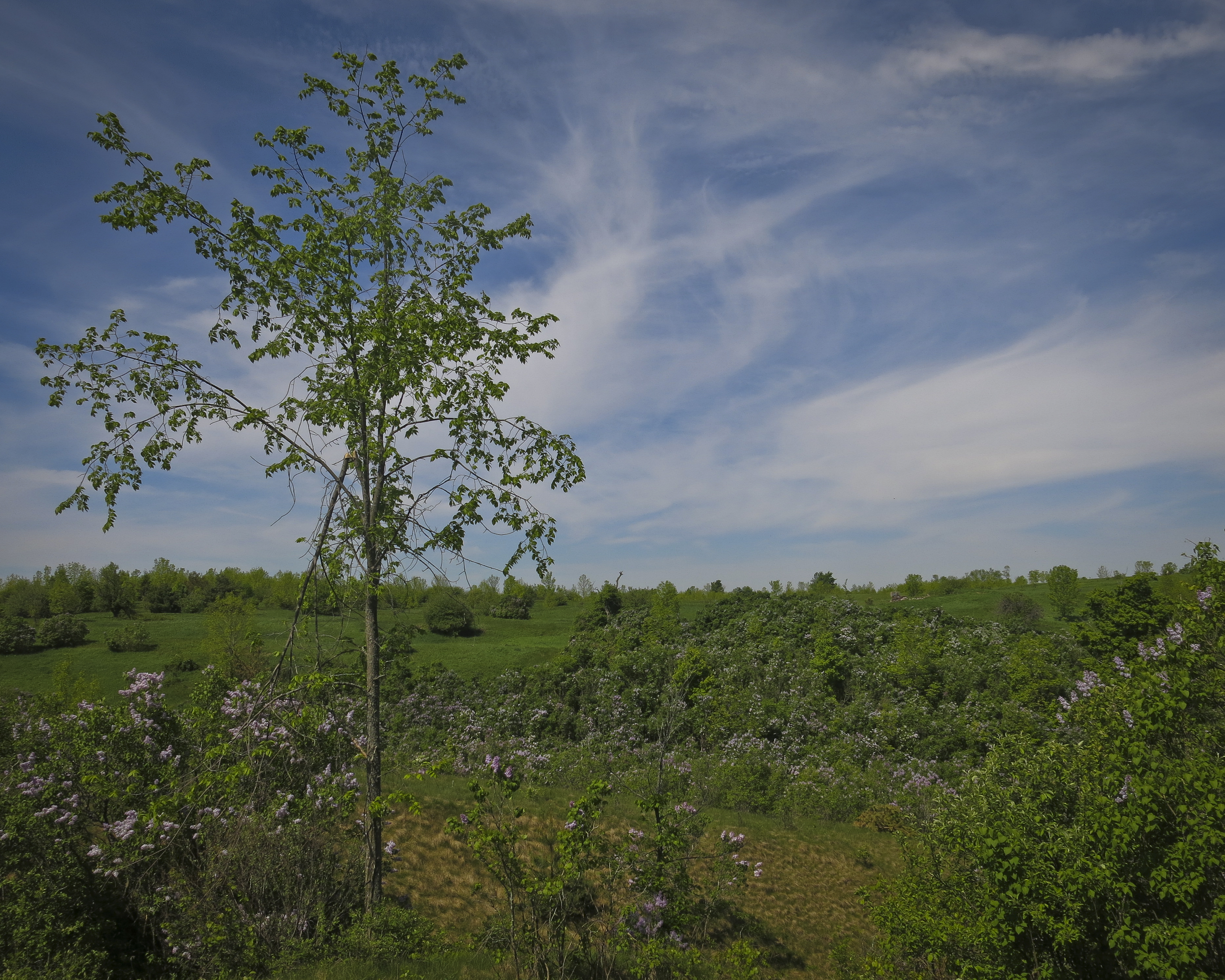
Our first views of Assiniboine.
3618m Mount Assiniboine and Magog Lake seen from near Assiniboine Lodge.
Departing the Assiniboine area and heading north toward Og Lake.
Awesome rock outcroppings, manicured-looking turf and smooth singletrack trail…
Heading toward a constriction in the meadow along Og Creek.
Hey, they call this area “Valley of Rocks”… I wonder why that’s the case.
Jordan and Patrick descending towards Og Lake.
Descending rocky trail to probably reascend again somewhere else
Getting faded, with Assiniboine and our previous 40km in the picture behind us.
At the top of Citadel Pass, marching toward Quartz Hill in centre, with glaciated Mount Ball on right.
Rock outcropping on the side of Citadel Peak, seen as we crossed Citadel Pass from BC back into Alberta.
Jordan running towards Quartz Ridge, our final climb of the day.
Jogging through a lush meadow toward our last climb up Quartz Ridge on right.
Circling Howard Douglas lake on our way up Quartz Ridge.
In awe, or “aww shit, we still have really far to run”?
Jogging the white ribbon which leads back to Sunshine Meadows from the top of Quartz Ridge. Spectacular trail running!
What began as a bluebird day became quite rainy and stormy, everywhere other than directly above us
“Did I say fading, I meant 5K to go!” Patrick says as he sprints toward a thunderhead which looks like a volcano erupting overtop of Bourgeau.
It was awesome to experience the spectrum of mountain weather all around us, but without actually getting soaked by rain or hit by lightning. We certainly got drizzled on, blasted by wind, and cautiously marched toward the top of Citadel Pass with an extremely active thunderstorm hanging over Fatigue Mountain to the north of us, but for the most part the weather made for a more complete experience of this landscape than a bluebird day would have offered.
If anything could prepare my eyes for the scenery I’ll see running around Mont Blanc in The Ultra-Trail du Mont-Blanc CCC next month, it might be this: A 60km out-and-back tour of Mount Robson to peep the Rockies’ tallest peak firsthand.
What was intended to be an “analogue run” two weeks prior to Trailstoke 60K Ultra in Revelstoke turned into a glorious day of warm sun and cool breeze; more roaring waterfalls than I can count on one hand; neon blue tarns with creaking glaciers flowing into them; buttery subalpine singletrack; chossy, exposed ledge running and sprinting up lateral moraines like some dude in a North Face ad; a little hands-on-knees grunting; about three litres of unfiltered mountain water and a near-miss with momma bear and cub. Just another day running around in the Rockies half-clothed 🙂
Splits:
0:31 Kinney Lake
2:45 Berg Lake
5:01 Snowbird Pass
7:57 Berg Lake
9:38 Kinney Lake
10:23 Berg Lake Trailhead
Trail running opens the doors to seeing more in less amount of time; what is generally treated as a two- or three-day backpacking trip then becomes a daytrip for the long-distance trail runner.
Buttery-smooth packed-stone trail dropping down from Land Of A Million Waterfalls (my own name for it) to the river flats near Berg Lake.
Berg Lake and the Rockies’ tallest mountain, Mount Robson (3954m), towering two vertical kilometres over the tarn.
Standing above Snowbird Pass (2719m) on the BC-Alberta border, looking down on the NE face of Mount Robson and the valley I just ascended. I am now 30km from my vehicle and feeling fairly fresh, but trying to avoid thinking about the next 30km I need to travel to get home…
View of Mount Robson and Whitehorn from my little perch above Snowbird Pass.
Looking down to the Coleman Glacier on the east side of Snowbird Pass. The pass and ridge I ascended to get here can be vaguely seen on left.
Looking down to Mount Robson’s huge north glacier during my descent from Snowbird Pass.
Back to the soft, cruisy trails of the Berg Lake area which my legs appreciated for the last 20km back to the car. Awesome trails and awesome scenery!
On the summit ridge of Mt. Lady Macdonald, 9 hours after starting the three-peak, 38km, 3500m vertical Canmore Triple Crown.
My second go at this masochistic little scrambling endeavour first devised by two buddies of mine in 2012 and reconfigured by myself into a 100% bipedal effort around this time last year. The Triple Crown is a one-day ascent of Mount Lady Macdonald, the east end of Mount Rundle (EEOR) and Ha Ling Peak, a grand tour of the city of Canmore, Alberta totalling thirty-eight horizontal kilometres and over 3500 metres (puke!) of accumulated vertical gain. Assuming I was stronger this year than last, I had definite intentions to beat my old time (12 hours), but both trips certainly involved their fair share of lollygagging, selfie-taking, and sitting on my ass eating sandwiches whilst cursing the mountains.
I crushed my old time, sweltering in inferno-esque temperatures (to me, anyway), chugging back melted snow with my running pack fully prepared for winter-mode if necessary. It definitely wasn’t necessary. I hope to return to this project some day with a lighter pack and a little less time devoted to taking pictures of myself to put up a truly speedy FKT. Until then, I’ma hit up this foam roller and drink some water 🙂
Splits: (7:45am start from Rocky Mountain Bagel Co., downtown Canmore)
1h03m – EEOR trailhead (TH) | 6.4km | 372m ↑ | 6.4km total
1h12m – EEOR summit | 2.3km | 884m ↑ | 8.8km
0h51m – EEOR TH | 2.4km | 872m ↓ | 11.2km
1h03m – Ha Ling summit | 2.9km | 801m ↑ | 14.2km
0h43m – Ha Ling TH | 2.9km | 808m ↓ | 17.2km
1h54m – Lady Mac TH | 11.1km | 469m ↓ | 28.3km
2h13m – Lady Mac summit ridge | 3.9km ↑ | 1182m | 32.7km
1h02m – Lady Mac TH | 3.3km | 1151m ↓ | 35.5km
0h17m – Bus stop | 2.5km | 118m ↓ | 38.0 km
This year I don’t need to carry the front page of the National Post with me to prove I bagged all these mountains; now I have a fancy GPS watch which tells me all sorts of nerdy details about my trips
View out my window at 5:45am on the morning of my Triple Crown trip.
Steep Ha Ling Peak, mountain #2 of the day, seen across Whiteman’s Gap during my ascent of the East End of Rundle.
Standing on top of the east end of Mount Rundle, 2590m, two hours and fourteen minutes after departing downtown Canmore.
View of one of Rundle’s subpeaks, arguably a cooler feature of Rundle than it’s actual summits. Evidence of spring avalanches was everywhere although the scramble routes on each of the Triple Crown peaks were pleasantly dry.
Eating a ProBar in the rock shelter (which offers mininal shelter) on top of Ha Ling Peak, 2408m, four hours and nine minutes after leaving downtown Canmore. Mighty Mount Temple is in the background at far left looking closer than it actually is.
A gorgeous day in Canmore, seen from the top of Ha Ling Peak. One thing I love about the Triple Crown and long-distance mountain running in general is the different types of locomotion required over the course of the day. After ascending two rather steep peaks in a fashion similar to climbing stairs by skipping every other step — for a vertical kilometre and a half — one is then required to actually run eleven kilometres across the valley and slog up the biggest peak of them all 😐 Who came up with this stupid idea, anyway?
Looking from top of summit #2, across Whiteman’s Gap to the east end of Mount Rundle, summit #1 of the day.
Top of Mount Lady MacDonald, 2605m, eight hours and fifty-seven minutes after first leaving downtown Canmore at 8am. It is now nearly 5pm and fairly windy. Whereas I hit my low point ascending Ha Ling Peak last year (peak #2), this year I felt strong until I got to Lady Mac and then staggered up the mountain, stopping every few minutes, lightheaded, to heave back oxygen like I don’t do this on a regular basis. The glory of physically challenging endeavours is when that quality that one needs to do what one’s trying to do — drive, will, “mojo”, physical energy, period — is utterly drained, yet one pushes on regardless. This realization has been both a gift and curse, as I now realize that no matter how weak and shitty I feel, I probably, actually, have the ability to push on indefinitely. This makes copping out a little harder to justify.
The knife-edge ridge which leads to the true high-point of Mount Lady Macdonald… I like this ridge when it’s dry and when winds aren’t so gale-force. I’m only a hundred and fifteen pounds and this Arc’teryx shell is like a wingsuit on me
View looking back down Mount Lady Macdonald’s SE ridge which, at the moment I take this photograph, I despise very, very much. Most of the ascent up Lady Mac consists of really good trail until you reach the “bench”, site of the old teahouse (middle of picture). The final push to the summit ridge is loose and exceedingly tedious: one of my least favourite sections of mountain I’ve personally experienced. Smart of me to least the worst for last?
My trusty New Balance MT110W’s which got me through this silly trek. I think they liked it better in the soft, clean snow of winter; not so keen on this scree stuff…
I often do epic things in the mountains right before going home to Ontario to visit so I am somehow imbued with epicness and the spirit of adventure in a place I associate with an almost suffocating sense of banality. I don’t think this practice really counts for much, except perhaps to stroke my ego, but it’s not like I boast about my adventures and once home my focus became firmly centred on visiting friends, spending time with my family and revisiting old hiking haunts in my newfound trail-running style. I also ran a rather flat 10km trail race at Terra Cotta conservation area which, by some stretch of the imagination, serves as a qualifier for a spot in the elite division at the Canadian Mountain Running Championships, a 12km/1200m vertical sprint at Kicking Horse Ski Resort, Golden, British Columbia three weeks from now which I’ll also be attending.
The place that helped me “train” for hiking in the Yukon and the Rockies (not really), Forks of the Credit Provincial Park, Caledon, ON.
Though the Terra Cotta course was a modest one, it was a good, early test of a new dimension of running I want to explore: speed. In the past I’ve always focused on distance, building the overall length of my long runs week after week, trotting along through the backcountry for thirty, forty, fifty kilometres at a pace intended to keep me from sweating too much and prematurely burning too many calories. Now I wanna do the same thing, faster. Misunderstanding how the race’s timing worked, I snuck into the back of the first wave seconds before the starting buzzer and shot off in a high-velocity tiptoe through the winding roots which covered the trails of this course. I finished in a respectable (for me, anyway) 19th place out of 260 runners. Not fast enough to qualify for the mountain running team, but I have different racing plans on my agenda this summer, anyway. Peep the Movescount data for this race here.
One hell of an approach: 30km from Banff to Canmore to climb Ha Ling in its worst snow conditions all year. 45km total, 1300m vert.
My calves feel like they’ve been used for boxing practice. Getting out for long runs rather inconsistently, yesterday’s thirty kilometre run to Canmore and ascent of Ha Ling Peak in the deepest and slushiest snow conditions I’ve ever encountered it in means I’m a little sorer than usual today. To reach Canmore I jogged along the Rocky Mountain Legacy Trail, which is much flatter, paved and runnable than what I’m used to running on, so I wasn’t really sure if the benign-ness of my chosen route would destroy me over twenty-five kilometres.
After a big dump — which we just received a weekend of — I’m used to powder piling up on Ha Ling at treeline, resulting in, say, a one-hundred metre stretch of waist deep sugary snow to plow through, with the rest of the peak wind-scoured and barren. Yesterday, however, I found the whole alpine zone of the peak caked with knee-deep isothermal snow from treeline to summit, with a crust that would barely hold your weight with one step and would break through on the next. Of course, what did I really expect at 4pm in the afternoon on a sunny day after, oh, our biggest single snowfall of 2013-14? I rank that as my most arduous ascent of Ha Ling, ever.
Descending Ha Ling wasn’t too difficult; I gained so much momentum on the slushy, muddy lower part of the mountain that I almost ran over Adam Campbell, 5Peaks Race Series organizer, Arc’teryx-sponsored athlete and one of Canada’s strongest male ultramarathoners. We shared gripes about the post-holing nightmare that was the top of Ha Ling and chatted about trail-running, races and the revered New Balance MT110 over a few kilometres through the boulders of Grassi Lakes before my descent into town. A highlight of my day. Peep the Movescount Move for this trip.
In other news, looking forward to giving these guys a spin… La Sportiva Anakonda mountain running flats.